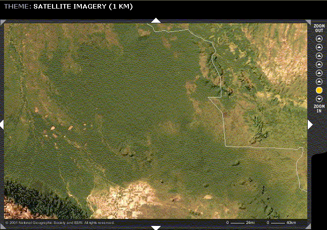
 Note transition of vegetation, evidence of farming practices, from Sta Cruz, lower left, to Noel Kempff, upper right to left of Brazil border (white line) and above angle.
Note transition of vegetation, evidence of farming practices, from Sta Cruz, lower left, to Noel Kempff, upper right to left of Brazil border (white line) and above angle.
Link to Dynamic National Geographic Maps
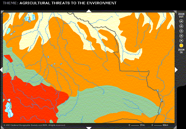 Note different scale.
Threat very high (red), high (orange), small (cream), none (light green). Sta Cruz, lower left, Noel Kempff, above triangular notch, upper right.
Threat is small along Parahua River in region around Porvenir, but high nearly everywhere else between Porvenir and Santa Cruz.
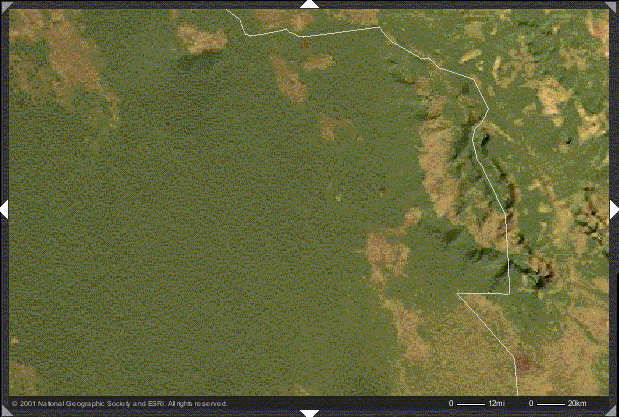 Note border of Bolivia & Brazil. The park (above and left of triangular notch) doesn't quite encompass all of the Tepuis.